
Neighborhoods · January 9, 2026
Between the Sevens: Why North Central Phoenix Locals Use That Name
Between the Sevens means 7th Avenue to 7th Street, Camelback to Northern. Here is what the phrase means, who uses it, and why the boundary matters to home values.
The short answer
Between the Sevens is the local name for the North Central Phoenix corridor bounded by 7th Avenue on the west and 7th Street on the east, generally running from Camelback Road on the south to Northern Avenue on the north — roughly one mile wide and two miles tall, with Central Avenue and the Murphy Bridle Path running down the middle.
Ask someone who grew up here where they live and they will not give you a zip code. They will say Between the Sevens, and they will assume you know exactly which piece of Phoenix they mean. Nobody outside a small radius does, which is the entire charm of the phrase and also the reason a page like this needs to exist.
This is the definitive answer: what the phrase means literally, where the lines are, why the frame exists at all, what falls inside it and what falls outside it, and how much of that actually matters when you are buying or selling a house.
The literal boundary
7th Avenue on the west. 7th Street on the east. Camelback Road on the south. Northern Avenue on the north. That is the frame, and the two north-south arterials are the ones the name is built from.
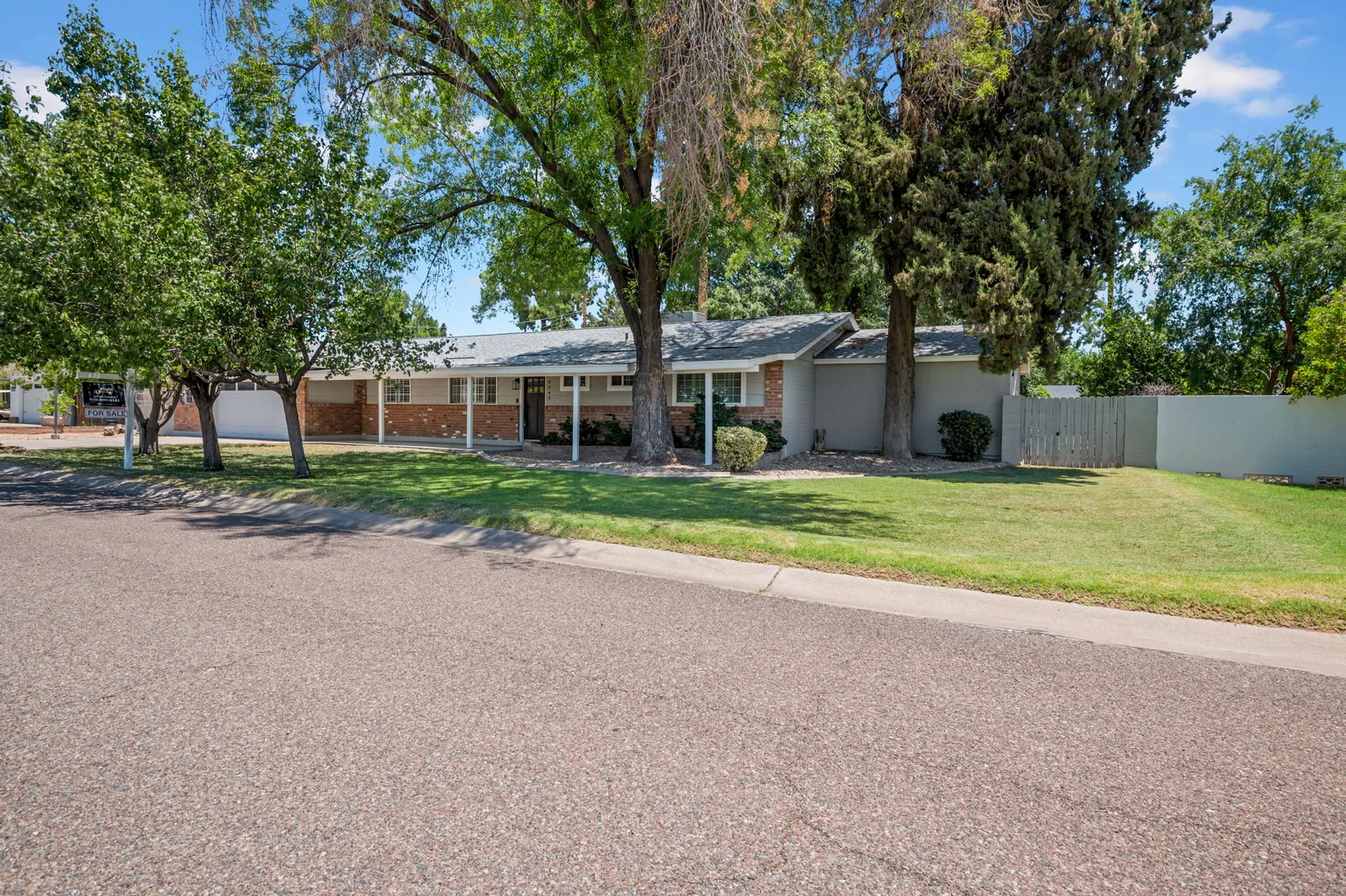
It is a strange piece of city geography: two busy commercial streets exactly a mile apart, and between them a canopy of half-century-old trees, flood-irrigated lawns, and a dirt horse trail. The Murphy Bridle Path runs along Central Avenue, which splits the corridor in half, and it is the single most recognizable feature of the neighborhood. If you are standing on the path, you are unambiguously inside the frame.
It is a survey line, not a slogan
Here is the part most people do not know, and it is the whole argument for the phrase. William J. Murphy began developing this area in 1895 by platting the Orangewood subdivision — a two-square-mile tract bounded by Northern Avenue and Bethany Home Road north to south, and by 7th Avenue and 7th Street east to west. His stated aim was rural homes at an easy distance from the city, on large estate lots with citrus groves, laid out primarily in 20-acre parcels with Central Avenue as the principal roadway.
The 1895 plat was bounded by 7th Avenue and 7th Street. Between the Sevens is not a marketing phrase invented by a realtor a few years ago — it is the original survey line, and people have been describing this place by those two arterials since before Arizona was a state.
In 1897 J.M. Evans platted Evans' Addition immediately south, bounded by Bethany Home Road and Camelback Road, as four large neighborhood blocks subdivided into twenty smaller ones. Add the two plats together and you get the modern corridor exactly as locals describe it: 7th to 7th, Camelback to Northern. The full history — Central Avenue becoming a public highway in 1910, its paving as a 22-foot concrete roadway in the 1920s, annexation into Phoenix in 1959, and the tree plantings along Central — is in the corridor's history.
Why sevens and not something else
Because Phoenix is a grid, and 7th Avenue and 7th Street are the arterials that bracket Central. In a city laid out on numbered streets running east of Central and numbered avenues running west, saying "between the sevens" is an efficient way to describe a symmetrical box around the center line. It works because the grid works.
Today the name is local shorthand rather than an official designation. There is no city boundary, no HOA, no district office and no sign. It survives because it is useful, because it describes something real, and because it has a paper trail going back to 1895.
Why the line is real and not just sentimental
The frame persists because the housing changes when you cross it. Cross 7th Street heading east or 7th Avenue heading west and the character of the lots, the age of the housing stock and the presence of irrigation all shift. It is not a gradual fade — the arterials are hard edges, physically and psychologically.
That is also why buyers who search purely by zip code get frustrated. The corridor spans parts of 85012, 85013, 85014, 85020 and 85021, and every one of those zips includes plenty of blocks nowhere near the corridor. A portal filter cannot tell the difference. A local can, from the car, in about four seconds. The pocket explorer is the closest thing to translating that instinct into numbers, and the street guide walks the sub-pockets one at a time.
What is inside the frame
- Central Avenue and the Murphy Bridle Path, the corridor's spine — see the Bridle Path guide.
- The Central Avenue school cluster: Brophy College Preparatory at 4701 N. Central Ave, Xavier College Preparatory at 4710 N. 5th St, Central High School at 4525 N. Central Ave and All Saints' Episcopal Day School at 6300 N. Central Ave.
- Madison Meadows Middle School at 225 W. Ocotillo Rd, west of Central.
- Flood-irrigated residential blocks on both sides of Central, which are the reason the canopy exists.
- The mid-century ranch housing stock the corridor is known for — see the ranch homes guide.
What is outside it — and why that is not an insult
Plenty of excellent blocks sit just outside the literal sevens. Nobody will correct you for calling them North Central, and for a lot of buyers those blocks are the smartest trade available, because you are buying the same trees and the same drive time without paying for the name.
The honest framing is this: the frame describes a concentration, not a quality threshold. A great block a quarter mile outside 7th Street is still a great block. The name simply stops there because a name has to stop somewhere.
The soft edges people argue about
The northern edge is the one that generates the most disagreement. Some people run the corridor to Northern Avenue and stop; others keep going toward Glendale Avenue. On the east, some stretch the label out toward 16th Street. Those arguments are real, they are unresolvable, and they are also a good sign — people only argue about boundaries for places they care about.
For practical purposes, use the tight definition when you are talking about pricing and the loose one when you are talking about where you get coffee. The dining guide very much uses the loose one.
What the frame is worth in dollars
The honest version: nobody should hand you a single premium number for a name. What can be shown is what has actually closed inside the corridor. Across a sample of 22 recent closed North Central sales in Trevor's ARMLS IDX feed, the median closed price was $1,290,000, the sample ranged from $1,023,500 to $2,455,555, and the median lot was 0.31 acres.
Every figure here is computed from a sample of 22 North Central sales closed in the past 12 months, drawn from Trevor's ARMLS IDX feed. A 12-month sample is not the whole market — it is a read on what has actually traded, not a valuation of any particular house.
What the spread tells you is that being inside the frame is not itself the pricing argument. Lot, irrigation, block and condition still decide the number, and two homes inside the same frame can differ by a million dollars. How pricing actually gets built here is the mechanic that matters more than the label.
Why the name matters to buyers and sellers
For buyers, the frame is a search instruction. It tells you which mile to walk and which listings deserve a Saturday. Searching "Phoenix under $1.5M" returns a metro's worth of noise; searching The Corridor returns a real, small, comparable set. The corridor home search is filtered to exactly that.
For sellers, the frame is a marketing argument, and one that has to be earned rather than asserted. Saying a home is Between the Sevens means something to a local buyer and nothing to an out-of-state one, which is why the marketing has to do both jobs at once — here is how that is handled.
Learning the frame quickly
The fastest way to internalize it is to drive Central from Camelback to Northern, then drive 7th Avenue and 7th Street the same stretch, and notice how different the two arterials feel from the interior. Then take the quiz version: Find Your Street narrows the five pockets to two or three based on how you actually live, and Price That House calibrates your sense of value against real closed sales inside the frame.
If you are new to the city entirely, start with the relocation guide and keep the homeowner's almanac bookmarked for the irrigation and trash details that nobody explains until you already own the house.
Questions people ask
- What does Between the Sevens mean in Phoenix?
- It is the local name for the North Central Phoenix corridor between 7th Avenue and 7th Street, generally running from Camelback Road north to Northern Avenue. It is a shorthand locals use, not an official city designation.
- Where exactly are the boundaries?
- 7th Avenue on the west, 7th Street on the east, Camelback Road on the south and Northern Avenue on the north — roughly a mile wide and two miles tall, with Central Avenue and the Murphy Bridle Path running down the middle.
- Which zip codes cover Between the Sevens?
- Parts of 85012, 85013, 85014, 85020 and 85021. Zip code is a poor proxy for the corridor because each of those zips also includes a large amount of area outside it.
- Is a home just outside the sevens still North Central Phoenix?
- In everyday use, yes — nobody will correct you. The frame describes a concentration of lot character, irrigation and housing stock, not a quality line. Some of the best relative value in the area sits immediately outside it.
- Does being inside the corridor guarantee a higher price?
- No. Across a sample of 22 recent closed sales inside the corridor, prices ranged from $1,023,500 to $2,455,555. Lot size, irrigation, block quality and condition drive the number; the name is a search term, not a valuation.
- Why do locals use the phrase instead of a zip code or subdivision name?
- Because there is no subdivision to name — the corridor is old, unplanned and un-gated — and because zip codes cut across it awkwardly. The grid gives everyone a shared reference point, so the arterials became the name.
- What is the Murphy Bridle Path?
- A dirt trail running along Central Avenue through the middle of the corridor, still used by walkers, runners and horses. It is the most recognizable physical feature of the neighborhood and a reliable way to know you are inside the frame.